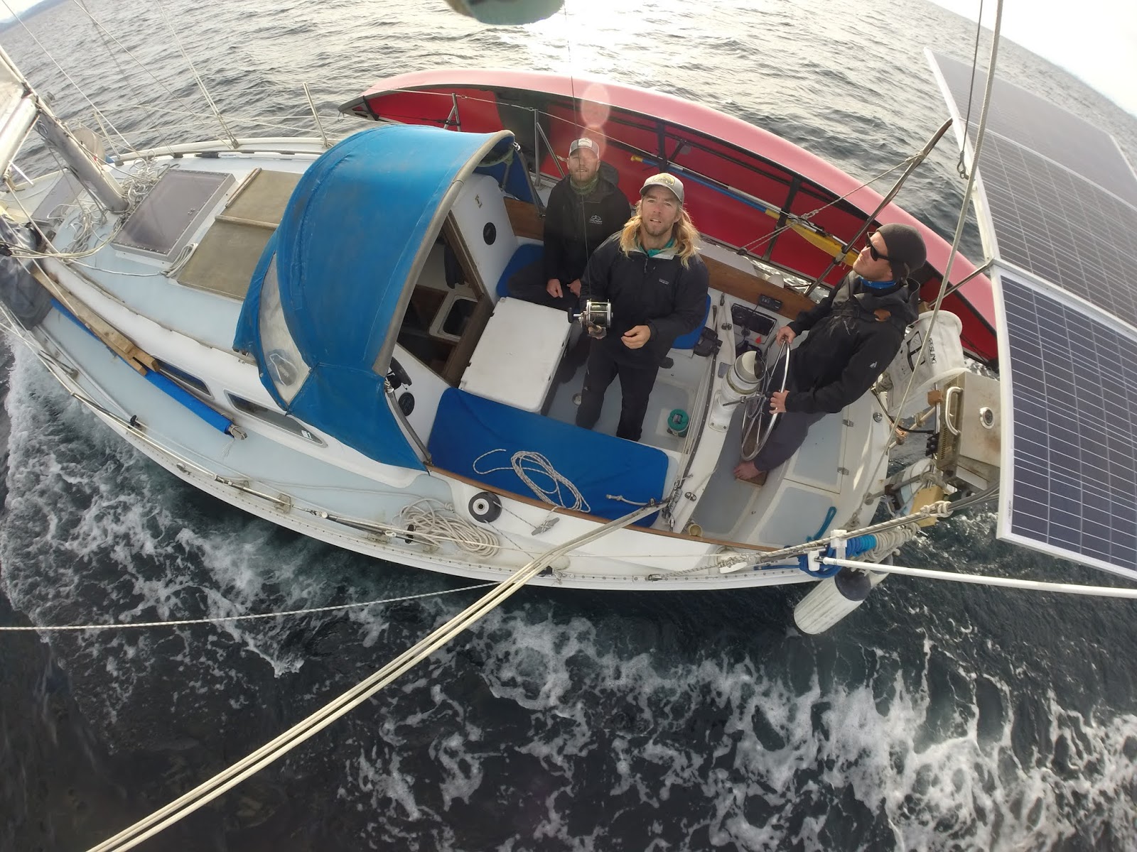
I had never been up the river that far before and it was a great trip, but we covered 18 miles that day and it took 11 hours. It rained all day too, so we were soaked and hungry and cold and tired. And happy.
We started our trip out with a bang,
when we went to Leconte and ran into some big growlers; (which are
large pieces of ice) and after a few hours of trying to get up the
fjord we were forced to turn back. It is really pretty up the
Leconte Inlet, and we ended up anchoring up there and going for a
small hike up a creek that feeds the inlet, but it was just too
packed full of ice for Layla to make it up. Inst ead, we headed north
to Thomas Bay! It was raining pretty hard all day and the wind was
at our backs (unusual) and we made really good time sailing on up,
but it was still pretty late when we arrived in Scenery Cove. On our
way in we saw a brown bear with a big piece of machinery. Mike Justa
(my companion for this trip) mentioned that it was the typical
alaska: "Brown Bears and broken down boats." As we
approached to get a closer look at the bear, another bear popped out.
It was a black bear with two little cubs. It walked out onto the
beach, then looked up and saw the brown bear, and turned right around
and boogied out of there. No sense hanging around with something
that will eat her cubs.
ead, we headed north
to Thomas Bay! It was raining pretty hard all day and the wind was
at our backs (unusual) and we made really good time sailing on up,
but it was still pretty late when we arrived in Scenery Cove. On our
way in we saw a brown bear with a big piece of machinery. Mike Justa
(my companion for this trip) mentioned that it was the typical
alaska: "Brown Bears and broken down boats." As we
approached to get a closer look at the bear, another bear popped out.
It was a black bear with two little cubs. It walked out onto the
beach, then looked up and saw the brown bear, and turned right around
and boogied out of there. No sense hanging around with something
that will eat her cubs.

The next morning we got into the canoe and started paddling over to Baird. Scenery Cove is a few miles away from the outwash plain of Baird Glacier, and so we had to paddle about 4 miles just to get to the river, and since the tide was rising (as we had planned) we were able to catch the rising tide up the river rather than fighting the current. It took us all the way (about 1.5 miles) up the tidal flat and into the "lake" which is the basin that was gouged out by the glacier when it extended further, back in about 2002. In those days, the glacier was pushing its terminal moraine in front of it and created a hill at the top of the outwash plain. Then it began to melt, so waterways have appeared througout the area previously occupied by solid ice. This mechanism is a mystery to me, because I have seen other glaciers that melt and "retreat". They form a vertical face that calves ice off of them and that vertical face is further and further up the inlet every year, because more ice calves off them than the speed of the glacier flow. Sort of like a conveyer belt that is getting chopped up at one end and the choppers are moving up. Baird Glacier is not doing that. I can't really tell what it is doing, but the pieces that we paddled around are enormous. They are hundreds of feet long and wide and I think they are all connected, which would make them thousands of feet long and wide (and maybe hundreds deep). Which means the glacier is just submerged. Since the sea water is pretty warm compared to ice, I would figure the ice would melt, break into pieces, and float, and very soon the lake would have only floating pieces, and then a face would form on the glacier and pieces would calve off. It might take a year to do this. But I've seen this lake with channels in it for the last 4 years. Previous to that, it was much more solid, so no channels. So that means (maybe) that the glacier is moving fast enough to replenish the ice that is melted away, so it doesn't form a face.
It's the only one like this in Southeast Alaska.
So we paddled around the ice a little bit and then walked on the Moraine, and found some Semi-Palmated Plovers.
And we found this moss or something that was beautiful colored and smelled really good.

Here is a picture of us paddling around the ice.

We climbed out and looked at the ice from on the hills over the sides of the glacier, but those hills are polished smooth by the passage of the glacier and we couldn't get very high. Very slippery.

We hauled the canoe out on some of the icebergs and went for a walk.

Here's a shot of Mike looking like John Muir. It was pretty cold so we were wearing the life jackets because the were warm. Also if something happened we could float a bit better, or if we fell they were padding.

Baird Glacier is one of the most interesting places up here to me, since it is really difficult to get to and quite dangerous; there are lots of gigantic forces at work here, with calving ice chunks, rock slides, and currents in really cold water and no place way to climb out on land. With Uncruise, though we came here reasonably often, we barely scratched of exploring this area, and we never had enough time. It changes all the time as well. If I come back this summer it will be completely different. We paddled back to the boat late in the day, and since the tide had fallen, we had a raging river to head down, with icebergs both floating along with us and grounded (with the river making rapids around them). I used a lot of adrenaline in one day. When we got back to the boat we had been out 11 hours.